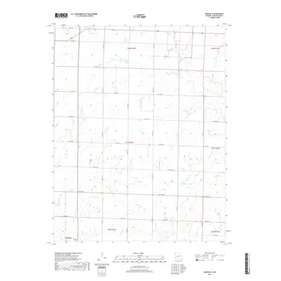
2017 Map of Nashville
USGS Topo · Published 2017About this map
The small settlement of Nashville anchors the southwest corner of this Barton County landscape, where the prairie transitions into a network of creek drainages and agricultural plots. The terrain is defined by a grid of rural roads, including SW 80th Rd and SW 5th Rd, which segment the township and range divisions of the Public Land Survey System. Local history and genealogy are anchored by the Nashville Cem and Pierce Cem, serving as markers of the community's ancestral roots in western Missouri.
Find a feature on this map
27 named features on this map. Tap any name to fly to it.
Don’t see what you’re looking for? This feature index may not catch every label — zoom into the map to look around manually.
Map Details
Editions of this 2017 Nashville Map
This is the sole edition of this map. No revisions or reprints were ever made.
Other maps of this area

1884 · Fort Scott
USGS Topo · 1:125,000

1886 · Nevada
USGS Topo · 1:125,000

1886 · Joplin
USGS Topo · 1:125,000

1886 · Fort Scott
USGS Topo · 1:125,000

1886 · Carthage
USGS Topo · 1:125,000

1893 · Fort Scott
USGS Topo · 1:125,000

1894 · Nevada
USGS Topo · 1:125,000

1894 · Joplin
USGS Topo · 1:125,000

1894 · Carthage
USGS Topo · 1:125,000

1945 · Pittsburg
USGS Topo · 1:62,500