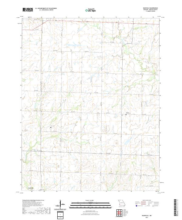
2021 Map of Nashville
USGS Topo · Published 2021About this map
Nashville anchors the southwestern corner of this Barton County landscape, a rural community defined by its straight-grid section lines and agricultural expanses. The terrain is drained by several watercourses, including the Little N Fork of the Spring River and the winding paths of Murphy Cr and Duval Cr. For genealogists and local historians, the sheet is particularly valuable for its placement of three distinct burial grounds: the Nashville Cemetery near the town site, Pierce Cem further north, and the Apostolic Christian Cemetery located near the center of the quadrangle. The map reflects a deeply established rural structure where the land is partitioned by an extensive network of numbered roads, from SW 5th RD in the north to SW 85th RD in the south, illustrating the enduring township-and-range surveying system of Missouri's western plains.
Find a feature on this map
25 named features on this map. Tap any name to fly to it.
Don’t see what you’re looking for? This feature index may not catch every label — zoom into the map to look around manually.
Map Details
Editions of this 2021 Nashville Map
This is the sole edition of this map. No revisions or reprints were ever made.
Other maps of this area

1884 · Fort Scott
USGS Topo · 1:125,000

1886 · Nevada
USGS Topo · 1:125,000

1886 · Joplin
USGS Topo · 1:125,000

1886 · Fort Scott
USGS Topo · 1:125,000

1886 · Carthage
USGS Topo · 1:125,000

1893 · Fort Scott
USGS Topo · 1:125,000

1894 · Nevada
USGS Topo · 1:125,000

1894 · Joplin
USGS Topo · 1:125,000

1894 · Carthage
USGS Topo · 1:125,000

1945 · Pittsburg
USGS Topo · 1:62,500