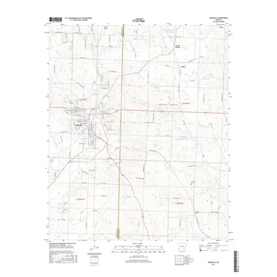
2017 Map of Nashville
USGS Topo · Published 2017About this map
Nashville serves as the regional hub at the convergence of Howard and Hempstead counties, characterized by a dense grid of streets including Grove Street and East Peachtree Street. The surrounding landscape is defined by its complex drainage network, where Mine Creek and Temperanceville Creek flow south of the city center, while Lake Nickels provides a notable landmark to the north. This 2017 survey details a mix of rural and developing areas, with small outlying settlements such as Bingen and North Bingen situated to the northeast near the North Fork Ozan Creek Watershed Site Reservoir. For genealogists and local historians, the map accurately positions the Nashville Cemetery near the heart of town and the more isolated Cummings Cemetery to the southeast. The Howard County Airport stands as a primary piece of infrastructure, highlighting the area's modern connectivity amidst the numerous named branches and runs like Pond Run and Pump Springs Branch.
Find a feature on this map
173 named features on this map. Tap any name to fly to it.
Don’t see what you’re looking for? This feature index may not catch every label — zoom into the map to look around manually.
Map Details
Editions of this 2017 Nashville Map
This is the sole edition of this map. No revisions or reprints were ever made.
Other maps of this area

1906 · Caddo Gap
USGS Topo · 1:125,000

1951 · Mineral Springs South
USGS Topo · 1:24,000

1951 · Columbus
USGS Topo · 1:24,000

1951 · Mineral Springs North
USGS Topo · 1:24,000

1951 · Nashville
USGS Topo · 1:24,000

1951 · Washington
USGS Topo · 1:24,000

1951 · McCaskill
USGS Topo · 1:24,000

1953 · El Dorado
USGS Topo · 1:250,000

1955 · Little Rock
USGS Topo · 1:250,000

1956 · Little Rock
USGS Topo · 1:250,000