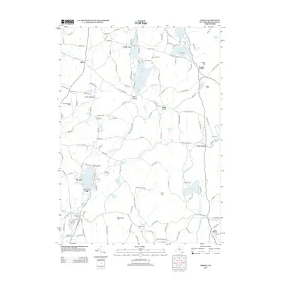
2013 Map of Nassau
USGS Topo · Published 2013About this map
Nassau and its surrounding hamlets occupy a landscape shaped by glacial water bodies and the winding paths of the Valatie Kill and Moordener Kill. This early 21st-century topographic study captures a region where agriculture and recreation coexist, from the Methodist Farm near Crooked Lake to the Alexander Farm Airport on the western edge. The map detail reflects a long history of small crossroads communities, including Millers Corners, Shivers Corners, and Denault Corners, each centered on historical road junctions.
Find a feature on this map
147 named features on this map. Tap any name to fly to it.
Don’t see what you’re looking for? This feature index may not catch every label — zoom into the map to look around manually.
Map Details
Editions of this 2013 Nassau Map
This is the sole edition of this map. No revisions or reprints were ever made.
Other maps of this area

1888 · Berlin
USGS Topo · 1:62,500

1888 · Pittsfield
USGS Topo · 1:62,500

1890 · Pittsfield
USGS Topo · 1:62,500

1890 · Berlin
USGS Topo · 1:62,500

1893 · Troy
USGS Topo · 1:62,500

1893 · Pittsfield
USGS Topo · 1:62,500

1894 · Berlin
USGS Topo · 1:62,500

1894 · Pittsfield
USGS Topo · 1:62,500

1895 · Troy
USGS Topo · 1:62,500

1897 · Pittsfield
USGS Topo · 1:62,500