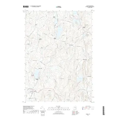
2019 Map of Nassau
USGS Topo · Published 2019About this map
The village of Nassau and the surrounding township in Rensselaer County are defined by a complex network of glacial lakes and creek drainages. This 2019 survey captures the modern landscape of eastern New York, where the Valatie Kill and Wynants Kill carve through the terrain between high points like Mashodack Hill and Bailey Mtn. The area is densely dotted with recreational and residential water bodies, including Glass Lake, Crooked Lake, and the larger Nassau Lake near Braeside.
Find a feature on this map
123 named features on this map. Tap any name to fly to it.
Don’t see what you’re looking for? This feature index may not catch every label — zoom into the map to look around manually.
Map Details
Editions of this 2019 Nassau Map
This is the sole edition of this map. No revisions or reprints were ever made.
Other maps of this area

1888 · Berlin
USGS Topo · 1:62,500

1888 · Pittsfield
USGS Topo · 1:62,500

1890 · Pittsfield
USGS Topo · 1:62,500

1890 · Berlin
USGS Topo · 1:62,500

1893 · Troy
USGS Topo · 1:62,500

1893 · Pittsfield
USGS Topo · 1:62,500

1894 · Berlin
USGS Topo · 1:62,500

1894 · Pittsfield
USGS Topo · 1:62,500

1895 · Troy
USGS Topo · 1:62,500

1897 · Pittsfield
USGS Topo · 1:62,500