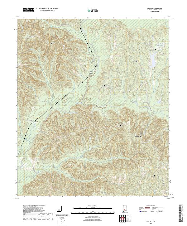
2024 Map of Natchez
USGS Topo · Published 2024About this map
Red Hills Cem and several other family and community burial grounds dot this upland portion of Monroe County, reflecting a deeply rooted rural settlement pattern. Small hamlets like Natchez and Scotland are connected by historical thoroughfares such as Old Scotland Rd and River Ridge Rd, which follow the natural contours of the terrain above the drainage basins.
Find a feature on this map
33 named features on this map. Tap any name to fly to it.
Don’t see what you’re looking for? This feature index may not catch every label — zoom into the map to look around manually.
Map Details
Editions of this 2024 Natchez Map
This is the sole edition of this map. No revisions or reprints were ever made.
Other maps of this area

1953 · Andalusia
USGS Topo · 1:250,000

1957 · Andalusia
USGS Topo · 1:250,000

1967 · Beatrice
USGS Topo · 1:24,000

1971 · Burnt Corn
USGS Topo · 1:24,000

1971 · Beatrice
USGS Topo · 1:24,000

1972 · Monroeville
USGS Topo · 1:24,000

1972 · Natchez
USGS Topo · 1:24,000

1972 · Franklin
USGS Topo · 1:24,000

1972 · Mexia
USGS Topo · 1:24,000

1973 · Hybart
USGS Topo · 1:24,000