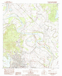
1983 Map of Natchitoches North
USGS Topo · Published 1984About this map
The Red River winds through this Central Louisiana landscape, where the shifting riverbed creates a complex network of bayous and oxbow lakes. In the early 1980s, significant engineering is visible with a new channel labeled Under Construction bypassing old bends near Grand Ecore. To the south, the city of Natchitoches serves as a regional hub, anchored by the campus of Northwestern State Univ and the northern reach of Cane River Lake.
Find a feature on this map
46 named features on this map. Tap any name to fly to it.
Don’t see what you’re looking for? This feature index may not catch every label — zoom into the map to look around manually.
Map Details
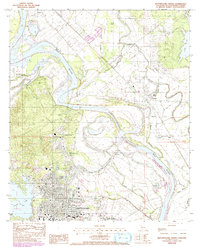
Editions of this 1983 Natchitoches North Map
2 editions found
Other maps of this area

1935 · Hagewood
USGS Topo · 1:31,680

1937 · Campti NE
USGS Topo · 1:31,680

1937 · Bermuda
USGS Topo · 1:31,680

1937 · Campti SE
USGS Topo · 1:31,680

1937 · Campti NW
USGS Topo · 1:31,680

1937 · Montgomery
USGS Topo · 1:62,500

1937 · Campti SW
USGS Topo · 1:31,680

1942 · Montgomery
USGS Topo · 1:62,500

1943 · Provencal
USGS Topo · 1:62,500

1944 · Campti
USGS Topo · 1:62,500