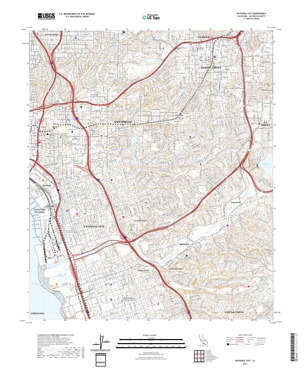
2021 Map of National City
USGS Topo · Published 2021About this map
National City and the surrounding San Diego suburbs are defined here by a dense grid of residential development and a major transportation network. The landscape is carved by the Sweetwater River and its accompanying Sweetwater Valley, leading toward the coastal wetlands at Gunpowder Point. Significant institutional land use is evident through large cemetery complexes such as Greenwood Cem and Mount Hope Cem, which serve as prominent landmarks amidst the urban sprawl.
Find a feature on this map
49 named features on this map. Tap any name to fly to it.
Don’t see what you’re looking for? This feature index may not catch every label — zoom into the map to look around manually.
Map Details
Editions of this 2021 National City Map
This is the sole edition of this map. No revisions or reprints were ever made.
Other maps of this area

1893 · El Cajon
USGS Topo · 1:62,500

1901 · Elcajon
USGS Topo · 1:62,500

1903 · Cuyamaca
USGS Topo · 1:125,000

1903 · La Jolla
USGS Topo · 1:62,500

1903 · Elcajon
USGS Topo · 1:62,500

1904 · San Diego
USGS Topo · 1:62,500

1904 · Southern California Sheet No. 2
USGS Topo · 1:250,000

1930 · La Jolla
USGS Topo · 1:62,500

1930 · San Diego
USGS Topo · 1:62,500

1939 · El Cajon
USGS Topo · 1:62,500