Loading...
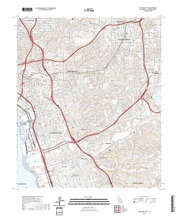
Loading map...2021 Map of National City
USGS Topo · Published 2021About this map
National City and the surrounding San Diego suburbs are defined here by a dense grid of residential development and a major transportation network. The landscape is carved by the Sweetwater River and its accompanying Sweetwater Valley, leading toward the coastal wetlands at Gunpowder Point. Significant institutional land use is evident through large cemetery complexes such as Greenwood Cem and Mount Hope Cem, which serve as prominent landmarks amidst the urban sprawl.
Find a feature on this map
49 named features on this map. Tap any name to fly to it.
Don’t see what you’re looking for? This feature index may not catch every label — zoom into the map to look around manually.
Map Details
Date Portrayed2021
Date Published2021
PublisherU.S. Geological Survey
Map TypeTopographic
Scale1:24000
Physical Dimensions24 x 29 inches
Editions of this 2021 National City Map
This is the sole edition of this map. No revisions or reprints were ever made.
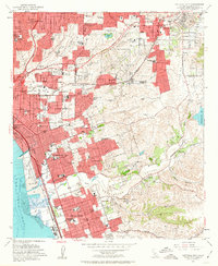
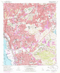
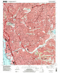
Historical Maps of San Diego Through Time
5 maps found

Featured Locations
Source Details
SourceU.S. Geological Survey
CopyrightPublic Domain