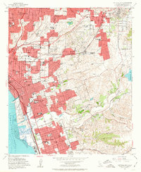
1953 Map of National City
USGS Topo · Published 1963About this map
The urban landscape of National City and Chula Vista is depicted here during a period of significant post-war expansion along the San Diego Bay. The map highlights the heavy military and industrial presence of the era, dominated by the San Diego Naval Station and the Chollas Heights Naval Radio Sta. Inland, the terrain transitions from the densely gridded streets of East San Diego and Encanto to the winding canyons of Paradise Valley and Telegraph Canyon.
Find a feature on this map
83 named features on this map. Tap any name to fly to it.
Don’t see what you’re looking for? This feature index may not catch every label — zoom into the map to look around manually.
Map Details
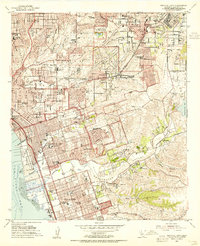
Editions of this 1953 National City Map
2 editions found
Other maps of this area

1893 · El Cajon
USGS Topo · 1:62,500

1901 · Elcajon
USGS Topo · 1:62,500

1903 · Cuyamaca
USGS Topo · 1:125,000

1903 · La Jolla
USGS Topo · 1:62,500

1903 · Elcajon
USGS Topo · 1:62,500

1904 · San Diego
USGS Topo · 1:62,500

1904 · Southern California Sheet No. 2
USGS Topo · 1:250,000

1930 · La Jolla
USGS Topo · 1:62,500

1930 · San Diego
USGS Topo · 1:62,500

1939 · El Cajon
USGS Topo · 1:62,500