Loading...
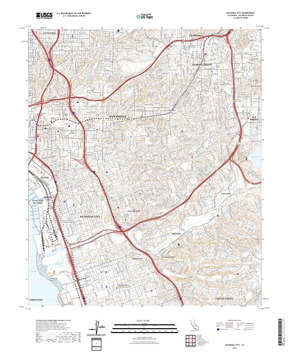
Loading map...1996 Map of National City
USGS Topo · Published 2001About this map
National City and the surrounding San Diego area show the result of decades of mid-century expansion in this 1990s-era topographical record. The map details the dense residential grids and arterial infrastructure connecting Lemon Grove, La Mesa, and Chula Vista during a period of significant urban consolidation. Notable coastal features include the Naval Station and the protected Sweetwater Marsh National Wildlife Refuge at the edge of the bay.
Find a feature on this map
60 named features on this map. Tap any name to fly to it.
Don’t see what you’re looking for? This feature index may not catch every label — zoom into the map to look around manually.
Map Details
Date Portrayed1996
Date Published2001
PublisherU.S. Geological Survey
Map TypeTopographic
Scale1:24000
Physical Dimensions22 x 26.8 inches
Editions of this 1996 National City Map
This is the sole edition of this map. No revisions or reprints were ever made.
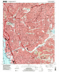
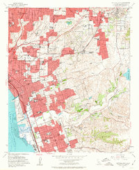
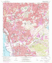
Historical Maps of San Diego Through Time
5 maps found

Featured Locations
Source Details
SourceU.S. Geological Survey
CopyrightPublic Domain