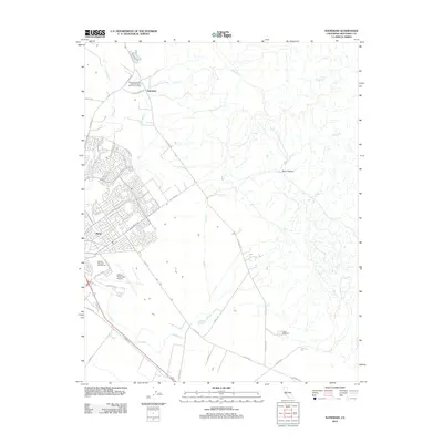
2012 Map of Natividad
USGS Topo · Published 2012About this map
Natividad and the northern outskirts of Salinas anchor this modern topographic view of the Salinas Valley's eastern edge. The landscape transitions from the dense residential grid of Alisal and the sprawling Salinas Municipal Airport to the agricultural fields and rising foothills of the Gabilan Range. Local history is evidenced by traditional landmarks like the Monterey County Sheriff Posse Grounds and Area and the former site of Camp McCallum, while historic transit routes like Old Stage Rd trace the path of earlier travelers along the base of the mountains.
Find a feature on this map
35 named features on this map. Tap any name to fly to it.
Don’t see what you’re looking for? This feature index may not catch every label — zoom into the map to look around manually.
Map Details
Editions of this 2012 Natividad Map
This is the sole edition of this map. No revisions or reprints were ever made.
Other maps of this area

1910 · Gonzales
USGS Topo · 1:31,680

1910 · Salinas
USGS Topo · 1:31,680

1912 · Salinas
USGS Topo · 1:62,500

1915 · San Juan Bautista
USGS Topo · 1:48,000

1917 · San Juan Bautista
USGS Topo · 1:62,500

1919 · Hollister
USGS Topo · 1:48,000

1921 · Gonzales
USGS Topo · 1:62,500

1921 · Hollister
USGS Topo · 1:62,500

1923 · Hollister
USGS Topo · 1:62,500

1939 · San Juan Bautista
USGS Topo · 1:62,500