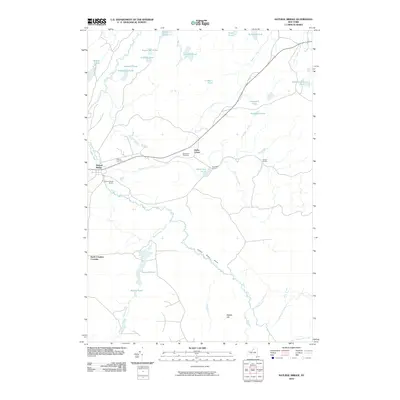
2010 Map of Natural Bridge
USGS Topo · Published 2010About this map
The Indian River winds through this Jefferson County landscape, anchoring a rural network of small hamlets and glacial water bodies. The settlement of Natural Bridge and its nearby Natural Bridge Station represent the primary residential cluster, while the surrounding territory is marked by small crossroads such as Blanchard Corners and Bartlett Corners. Genealogists and local historians will find the exact locations of Hillside Cemetery and the Blanchard Cemetery near Diana Center, providing spatial context for family researchers in the Wilna area.
Find a feature on this map
37 named features on this map. Tap any name to fly to it.
Don’t see what you’re looking for? This feature index may not catch every label — zoom into the map to look around manually.
Map Details
Editions of this 2010 Natural Bridge Map
This is the sole edition of this map. No revisions or reprints were ever made.
Other maps of this area

1902 · Carthage
USGS Topo · 1:62,500

1904 · Carthage
USGS Topo · 1:62,500

1911 · Antwerp
USGS Topo · 1:62,500

1911 · Lowville
USGS Topo · 1:62,500

1913 · Lowville
USGS Topo · 1:62,500

1913 · Lake Bonaparte
USGS Topo · 1:62,500

1916 · Lake Bonaparte
USGS Topo · 1:62,500

1943 · Carthage
USGS Topo · 1:31,680

1948 · Ogdensburg
USGS Topo · 1:250,000

1949 · Antwerp
USGS Topo · 1:62,500