
1943 Map of Carthage
USGS Topo · Published 1943About this map
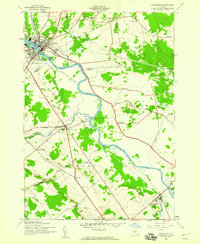
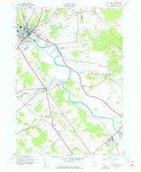
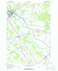
The Black River defines the industrial and geographic character of this 1943 survey, carving a deep path through the heart of Jefferson and Lewis Counties. The twin villages of Carthage and West Carthage stand as the primary population centers at the map's northern edge, connected by a network of bridges and the vital corridor of the New York Central railroad. Downriver, the landscape transitions into a mosaic of rural townships including Wilna, Croghan, and Denmark.
Find a feature on this map
54 named features on this map. Tap any name to fly to it.
Don’t see what you’re looking for? This feature index may not catch every label — zoom into the map to look around manually.
Map Details
Editions of this 1943 Carthage Map
4 editions found
Other maps of this area

1902 · Carthage
USGS Topo · 1:62,500

1904 · Carthage
USGS Topo · 1:62,500

1911 · Antwerp
USGS Topo · 1:62,500

1911 · Lowville
USGS Topo · 1:62,500

1913 · Lowville
USGS Topo · 1:62,500

1913 · Lake Bonaparte
USGS Topo · 1:62,500

1916 · Lake Bonaparte
USGS Topo · 1:62,500

1942 · Copenhagen
USGS Topo · 1:24,000

1943 · Copenhagen
USGS Topo · 1:31,680
1943 · New Boston
USGS Topo · 1:31,680