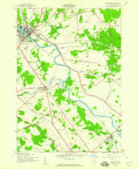
1943 Map of Carthage
USGS Topo · Published 1960About this map
The Black River dominates this mid-century landscape, carving a winding path through the borderlands of Jefferson and Lewis Counties. The twin settlements of Carthage and West Carthage serve as the primary hubs, where the New York Central railroad infrastructure converges near the riverbanks. This era captures a rural network defined by its small school districts and family cemeteries, suggesting a community structure still rooted in localized agriculture and early industrial transport.
Find a feature on this map
38 named features on this map. Tap any name to fly to it.
Don’t see what you’re looking for? This feature index may not catch every label — zoom into the map to look around manually.
Map Details
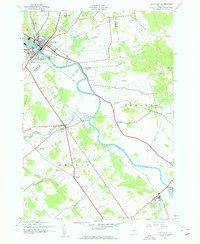
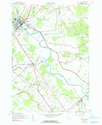
Editions of this 1943 Carthage Map
4 editions found

Other maps of this area

1902 · Carthage
USGS Topo · 1:62,500

1904 · Carthage
USGS Topo · 1:62,500

1911 · Antwerp
USGS Topo · 1:62,500

1911 · Lowville
USGS Topo · 1:62,500

1913 · Lowville
USGS Topo · 1:62,500

1913 · Lake Bonaparte
USGS Topo · 1:62,500

1916 · Lake Bonaparte
USGS Topo · 1:62,500

1942 · Copenhagen
USGS Topo · 1:24,000

1943 · Copenhagen
USGS Topo · 1:31,680
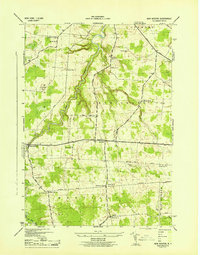
1943 · New Boston
USGS Topo · 1:31,680