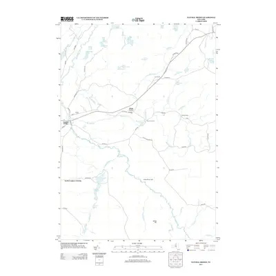
2013 Map of Natural Bridge
USGS Topo · Published 2013About this map
The Indian River winds through this North Country landscape, defining the character of Natural Bridge and the surrounding woodlands of Jefferson and Lewis counties. This modern topographic record captures the transition from settled crossroads to the sprawling marshes and water bodies of the interior. Settlements like Diana Center and Blanchard Corners serve as anchor points along a network of historic thoroughfares, including the descriptively named Aldrich Settlement Rd. Further south, the Indian River Flats broaden the river's path through the timberlands, flanked by named peaks like Middle Hill. The map is particularly rich in smaller water features, showing the distinct footprints of Steam Mill Pond, Onjebonge Pond, and Quackenbush Pond, which historically supported the region's logging and milling industries.
Find a feature on this map
66 named features on this map. Tap any name to fly to it.
Don’t see what you’re looking for? This feature index may not catch every label — zoom into the map to look around manually.
Map Details
Editions of this 2013 Natural Bridge Map
This is the sole edition of this map. No revisions or reprints were ever made.
Other maps of this area

1902 · Carthage
USGS Topo · 1:62,500

1904 · Carthage
USGS Topo · 1:62,500

1911 · Antwerp
USGS Topo · 1:62,500

1911 · Lowville
USGS Topo · 1:62,500

1913 · Lowville
USGS Topo · 1:62,500

1913 · Lake Bonaparte
USGS Topo · 1:62,500

1916 · Lake Bonaparte
USGS Topo · 1:62,500

1943 · Carthage
USGS Topo · 1:31,680

1948 · Ogdensburg
USGS Topo · 1:250,000

1949 · Antwerp
USGS Topo · 1:62,500