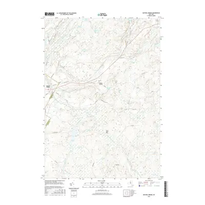
2016 Map of Natural Bridge
USGS Topo · Published 2016About this map
Natural Bridge and the Jefferson Co Lewis Co border define this landscape where the Indian River meanders through a dense network of wetlands and small upland peaks. The settlement at Natural Bridge serves as the primary hub, while rural routes like Aldrich Settlement Rd and Old State Rd link the scattered residents of Diana Center. Genealogists and local historians will find the Hillside Cem and Blanchard Cem located near these early thoroughfares. The topography is dominated by numerous ponds and named swamps, including Steam Mill Pond, Beartown Swamp, and the Indian River Flats. These features, alongside family-named landmarks like Fitzgerald Pond and Quackenbush Pond, suggest a history tied to seasonal timber work and local agriculture. From the drainage of Weatherhead Cr to the heights of Mid Hill, the map illustrates a region where geography dictated the pace of development and the layout of secondary roads.
Find a feature on this map
73 named features on this map. Tap any name to fly to it.
Don’t see what you’re looking for? This feature index may not catch every label — zoom into the map to look around manually.
Map Details
Editions of this 2016 Natural Bridge Map
This is the sole edition of this map. No revisions or reprints were ever made.
Other maps of this area

1902 · Carthage
USGS Topo · 1:62,500

1904 · Carthage
USGS Topo · 1:62,500

1911 · Antwerp
USGS Topo · 1:62,500

1911 · Lowville
USGS Topo · 1:62,500

1913 · Lowville
USGS Topo · 1:62,500

1913 · Lake Bonaparte
USGS Topo · 1:62,500

1916 · Lake Bonaparte
USGS Topo · 1:62,500

1943 · Carthage
USGS Topo · 1:31,680

1948 · Ogdensburg
USGS Topo · 1:250,000

1949 · Antwerp
USGS Topo · 1:62,500