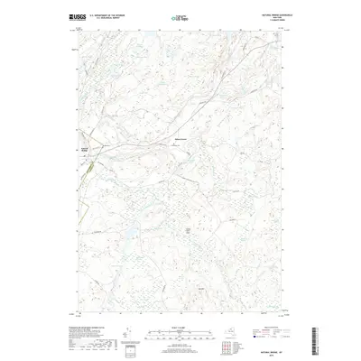
2019 Map of Natural Bridge
USGS Topo · Published 2019About this map
Natural Bridge sits at the western edge of this 2019 survey, where the Indian River winds through a landscape defined by glacial ponds and extensive wetlands. The settlement pattern follows older routes like Old State Rd and Old NYS RT 3, which pass near the historic Hillside Cem and Blanchard Cem. This region on the border of Jefferson and Lewis Counties is a mosaic of small water bodies, including the curiously named Onjebonge Pond and Steam Mill Pond, hinting at former industrial sites along the waterways.
Find a feature on this map
71 named features on this map. Tap any name to fly to it.
Don’t see what you’re looking for? This feature index may not catch every label — zoom into the map to look around manually.
Map Details
Editions of this 2019 Natural Bridge Map
This is the sole edition of this map. No revisions or reprints were ever made.
Other maps of this area

1902 · Carthage
USGS Topo · 1:62,500

1904 · Carthage
USGS Topo · 1:62,500

1911 · Antwerp
USGS Topo · 1:62,500

1911 · Lowville
USGS Topo · 1:62,500

1913 · Lowville
USGS Topo · 1:62,500

1913 · Lake Bonaparte
USGS Topo · 1:62,500

1916 · Lake Bonaparte
USGS Topo · 1:62,500

1943 · Carthage
USGS Topo · 1:31,680

1948 · Ogdensburg
USGS Topo · 1:250,000

1949 · Antwerp
USGS Topo · 1:62,500