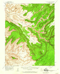
1952 Map of Natural Bridges
USGS Topo · Published 1960About this map
Natural Bridges National Monument dominates the eastern portion of this San Juan County landscape, showcasing the massive sandstone spans of Sipapu Bridge, Kachina Bridge, and Owachomo Bridge within Armstrong Canyon. The terrain is defined by deep incisions like White Canyon and Red Canyon, where water sources such as Rock Spring, Fry Spring, and Dripping Spring provided vital points of relief in a high-desert environment.
Find a feature on this map
58 named features on this map. Tap any name to fly to it.
Don’t see what you’re looking for? This feature index may not catch every label — zoom into the map to look around manually.
Map Details
Editions of this 1952 Natural Bridges Map
3 editions found
Other maps of this area

1886 · Henry Mountains
USGS Topo · 1:250,000

1886 · Abajo
USGS Topo · 1:250,000

1892 · Abajo
USGS Topo · 1:250,000

1892 · Henry Mountains
USGS Topo · 1:250,000

1893 · Abajo
USGS Topo · 1:250,000

1935 · Elk Ridge
USGS Topo · 1:96,000

1940 · Elk Ridge
USGS Topo · 1:125,000

1952 · Mouth of Dark Canyon
USGS Topo · 1:62,500

1952 · Mancos Mesa
USGS Topo · 1:62,500

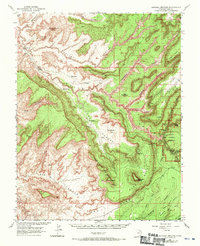
1952 · Natural Bridges
USGS Topo · 1:62,500