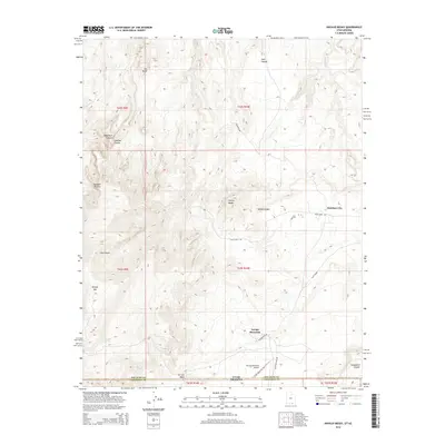
2014 Map of Navajo Begay
USGS Topo · Published 2014About this map
Navajo Mountain stands as the dominant topographic feature of this borderland region, where the high desert of San Juan County meets the Arizona state line. The settlement patterns in this 2014 survey are concentrated around the mountain's base and the Rainbow Plateau to the north, including the communities of Navajo Begay and Rainbow City. The landscape is defined by a complex network of deep drainages such as Desha Canyon, Bald Rock Canyon, and Cha Canyon, which carve through the sandstone toward the Colorado River system.
Find a feature on this map
33 named features on this map. Tap any name to fly to it.
Don’t see what you’re looking for? This feature index may not catch every label — zoom into the map to look around manually.
Map Details
Editions of this 2014 Navajo Begay Map
This is the sole edition of this map. No revisions or reprints were ever made.
Other maps of this area

1883 · Marsh Pass
USGS Topo · 1:250,000

1886 · Henry Mountains
USGS Topo · 1:250,000

1892 · Marsh Pass
USGS Topo · 1:250,000

1892 · Henry Mountains
USGS Topo · 1:250,000

1953 · Navajo Mountain 4 NW
USGS Topo · 1:24,000

1953 · Navajo Mountain 4 SW
USGS Topo · 1:24,000

1953 · Navajo Mountain
USGS Topo · 1:62,500

1953 · No Mans Mesa
USGS Topo · 1:62,500

1956 · Escalante
USGS Topo · 1:250,000

1956 · Marble Canyon
USGS Topo · 1:250,000