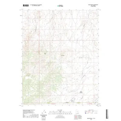
2023 Map of Navajo Begay
USGS Topo · Published 2023About this map
Navajo Begay defines the high-altitude terrain of the San Juan region as it was surveyed in 2023. This high-resolution study by the U.S. Geological Survey focuses on the intricate elevation changes and landform morphology of the plateau. Because this modern survey prioritizes precise digital topography over historical human settlements, the map provides an exceptionally clear view of the natural relief and drainage patterns. Researchers and geologists can use this data to understand contemporary watershed boundaries and the structural orientation of the landscape's major features.
Find a feature on this map
1 named feature on this map. Tap any name to fly to it.
Don’t see what you’re looking for? This feature index may not catch every label — zoom into the map to look around manually.
Map Details
Editions of this 2023 Navajo Begay Map
This is the sole edition of this map. No revisions or reprints were ever made.
Other maps of this area

1883 · Marsh Pass
USGS Topo · 1:250,000

1886 · Henry Mountains
USGS Topo · 1:250,000

1892 · Marsh Pass
USGS Topo · 1:250,000

1892 · Henry Mountains
USGS Topo · 1:250,000

1953 · Navajo Mountain 4 NW
USGS Topo · 1:24,000

1953 · Navajo Mountain 4 SW
USGS Topo · 1:24,000

1953 · Navajo Mountain
USGS Topo · 1:62,500

1953 · No Mans Mesa
USGS Topo · 1:62,500

1956 · Escalante
USGS Topo · 1:250,000

1956 · Marble Canyon
USGS Topo · 1:250,000