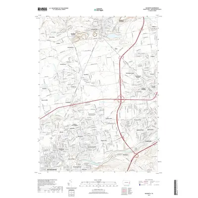
2019 Map of Nazareth
USGS Topo · Published 2019About this map
Nazareth and the northern outskirts of Easton anchor this 2019 survey, showcasing a landscape where colonial-era roots meet modern infrastructure. The Lehigh River and the historic Lehigh Coal and Navigation Canal define the southern border, passing Turkey Island and Laubach Island as they flow toward the city center. This area is characterized by a dense network of suburban developments such as Northwood Heights and William Penn Manor, interspersed with established settlements like Tatamy and Hecktown. Local history is preserved in numerous consecrated spaces, including the Moravian Cem in the heart of Nazareth and the Northampton Memorial Shrine Cem to the east. Educational and transit hubs are prominent, from the DeSales University Bethlehem Area Campus in Farmersville to the small airfield at Bugs Airport, illustrating the region's continued growth along the Us 22 and Pa 33 corridors.
Find a feature on this map
69 named features on this map. Tap any name to fly to it.
Don’t see what you’re looking for? This feature index may not catch every label — zoom into the map to look around manually.
Map Details
Editions of this 2019 Nazareth Map
This is the sole edition of this map. No revisions or reprints were ever made.
Other maps of this area

1890 · Easton
USGS Topo · 1:62,500

1891 · Easton
USGS Topo · 1:62,500

1891 · Delaware Water Gap
USGS Topo · 1:62,500

1893 · Delaware Water Gap
USGS Topo · 1:62,500

1894 · Allentown
USGS Topo · 1:62,500

1914 · Wind Gap
USGS Topo · 1:62,500

1916 · Wind Gap
USGS Topo · 1:62,500

1932 · Easton
USGS Topo · 1:62,500

1936 · Delaware Water Gap
USGS Topo · 1:48,000

1939 · Allentown
USGS Topo · 1:62,500