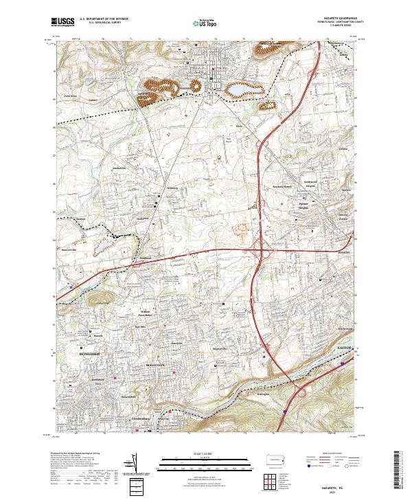
2023 Map of Nazareth
USGS Topo · Published 2023About this map
The borough of Nazareth anchors this landscape, serving as a hub for the surrounding townships where historical religious centers like the Holy Family Church and Nazareth Moravian Cemetery reflect the area’s deep Moravian roots. To the south, the terrain descends toward the Lehigh River, passing through a dense collection of smaller settlements including Hecktown, Butztown, and Smoketown. This 2023 survey illustrates the modern expansion of Bethlehem and Wilson, where educational institutions such as the Northampton County Area Community College Bethlehem Campus now occupy land once dominated by agriculture.
Find a feature on this map
82 named features on this map. Tap any name to fly to it.
Don’t see what you’re looking for? This feature index may not catch every label — zoom into the map to look around manually.
Map Details
Editions of this 2023 Nazareth Map
This is the sole edition of this map. No revisions or reprints were ever made.
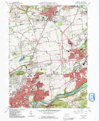
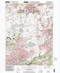
Historical Maps of Wolf's Run Through Time
3 maps found