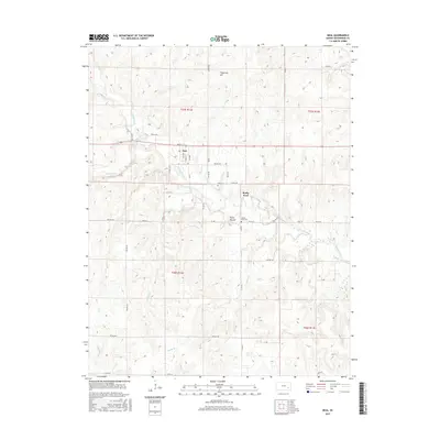
2015 Map of Neal
USGS Topo · Published 2015About this map
Neal serves as the primary settlement in this section of Greenwood County, situated at the intersection of Quincy St and several township roads. The landscape is defined by the drainage patterns of Walnut Creek and Homer Creek, which carve through the undulating terrain of the Flint Hills region. High points like Tipperary Hill and Rocky Mound overlook a network of watercourses including Bachelor Cr, Fancy Cr, and Kuntz Br. The mapping reveals a distinct agricultural grid system, where section lines are often traced by gravel routes such as Twp Rd 390 and Co Rd 17. Local heritage is anchored by two documented burial sites: the Neal Cem north of the main village and the Rocky Ford Cem located near the small community of Rocky Ford. This spatial arrangement reflects a late-century rural economy centered on the creek valleys and the high prairie divides.
Find a feature on this map
46 named features on this map. Tap any name to fly to it.
Don’t see what you’re looking for? This feature index may not catch every label — zoom into the map to look around manually.
Map Details
Editions of this 2015 Neal Map
This is the sole edition of this map. No revisions or reprints were ever made.
Other maps of this area

1885 · Eureka
USGS Topo · 1:125,000

1886 · Fredonia
USGS Topo · 1:125,000

1888 · Eureka
USGS Topo · 1:125,000

1894 · Fredonia
USGS Topo · 1:125,000

1894 · Eureka
USGS Topo · 1:125,000

1938 · Fredonia
USGS Topo · 1:62,500

1939 · Fredonia
USGS Topo · 1:48,000

1939 · Severy
USGS Topo · 1:62,500

1941 · Severy
USGS Topo · 1:62,500

1942 · Fredonia
USGS Topo · 1:62,500