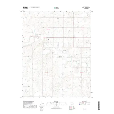
2018 Map of Neal
USGS Topo · Published 2018About this map
The unincorporated community of Neal sits along the intersection of Quincy St and several township roads in the eastern Kansas prairie. This landscape is defined by the drainage network of Walnut Creek and its many tributaries, including Homer Creek and Bachelor Cr, which cut through the undulating terrain of Greenwood County. Evidence of early settlement is preserved at the Neal Cem and the Rocky Ford Cem, both of which serve as important landmarks for those researching local family lineages. Distinctive topographic features like Tipperary Hill in the north and the elevation of Rocky Mound provide natural orientation points across the sections of T25S and T26S. The area's rural character remains centered on a grid of county and township roads, such as Co Rd 17 and Cc Rd, which facilitate access to the surrounding creek bottoms and high points like Rocky Ford.
Find a feature on this map
48 named features on this map. Tap any name to fly to it.
Don’t see what you’re looking for? This feature index may not catch every label — zoom into the map to look around manually.
Map Details
Editions of this 2018 Neal Map
This is the sole edition of this map. No revisions or reprints were ever made.
Other maps of this area

1885 · Eureka
USGS Topo · 1:125,000

1886 · Fredonia
USGS Topo · 1:125,000

1888 · Eureka
USGS Topo · 1:125,000

1894 · Fredonia
USGS Topo · 1:125,000

1894 · Eureka
USGS Topo · 1:125,000

1938 · Fredonia
USGS Topo · 1:62,500

1939 · Fredonia
USGS Topo · 1:48,000

1939 · Severy
USGS Topo · 1:62,500

1941 · Severy
USGS Topo · 1:62,500

1942 · Fredonia
USGS Topo · 1:62,500