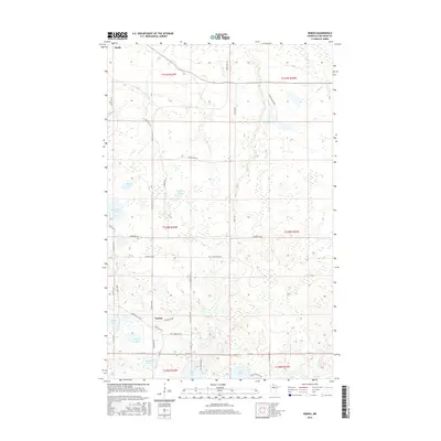
2016 Map of Nebish
USGS Topo · Published 2016About this map
Nebish and the southern edge of Redby anchor this northern Minnesota landscape, characterized by a complex network of glacial lakes and reservation roads. The terrain is defined by its water, from the central basin of Nebish Lake and nearby Smyth Lake to more remote bodies like Gibibwisher Lake and Wending Lake. A system of tribal and county routes, such as Resvn Hwy 1 and Resvn Hwy 15, provides the primary framework for local travel through these northern woods. The layout of roads like Lumberjack Rd NE and Gillman Rd NW suggests a history of timber management and rural residency. Small creeks, including Hay Cr and Darrigans Cr, drain the low-lying wetlands that separate the numerous named lakes like Dark Lake and Hagali Lake, illustrating the post-glacial topography of the Red Lake region.
Find a feature on this map
45 named features on this map. Tap any name to fly to it.
Don’t see what you’re looking for? This feature index may not catch every label — zoom into the map to look around manually.
Map Details
Editions of this 2016 Nebish Map
This is the sole edition of this map. No revisions or reprints were ever made.
Other maps of this area

1919 · Quiring
USGS Topo · 1:62,500

1920 · Buena Vista
USGS Topo · 1:62,500

1954 · Bemidji
USGS Topo · 1:250,000

1957 · Bemidji
USGS Topo · 1:250,000

1958 · Bemidji
USGS Topo · 1:250,000

1972 · Redby
USGS Topo · 1:24,000

1972 · White Fish Lake
USGS Topo · 1:24,000
1972 · O'Brien Lookout Tower
USGS Topo · 1:24,000
1972 · Nebish
USGS Topo · 1:24,000
1972 · Tenstrike
USGS Topo · 1:24,000