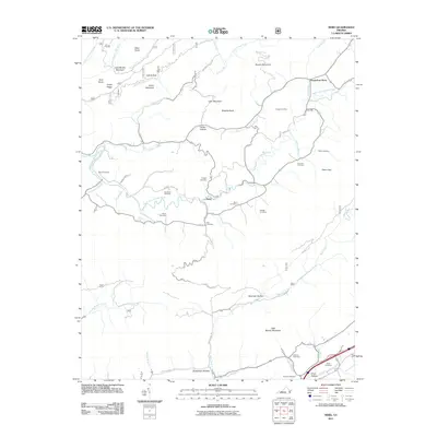
2011 Map of Nebo
USGS Topo · Published 2011About this map
The settlement of Nebo serves as a central point in this part of Smyth County, situated along the meandering path of the North Fork Holston River. This landscape is defined by its deep genealogical record, evidenced by a high density of family burial grounds including Cooper Cemetery, Tilson Cemetery, and Cregger Cemetery. These sites are often tucked into the valleys between prominent ridges such as Brushy Mountain and Little Mountain, illustrating a pattern of upland Appalachian settlement where family life and industry were closely tied to the available creek flats.
Find a feature on this map
58 named features on this map. Tap any name to fly to it.
Don’t see what you’re looking for? This feature index may not catch every label — zoom into the map to look around manually.
Map Details
Editions of this 2011 Nebo Map
This is the sole edition of this map. No revisions or reprints were ever made.
Other maps of this area

1887 · Pocahontas
USGS Topo · 1:125,000

1889 · Wytheville
USGS Topo · 1:125,000

1891 · Tazewell
USGS Topo · 1:125,000

1891 · Pocahontas
USGS Topo · 1:125,000

1891 · Abingdon
USGS Topo · 1:125,000

1892 · Wytheville
USGS Topo · 1:125,000

1894 · Pocahontas
USGS Topo · 1:125,000

1894 · Abingdon
USGS Topo · 1:125,000

1895 · Tazewell
USGS Topo · 1:125,000

1895 · Pocahontas
USGS Topo · 1:125,000