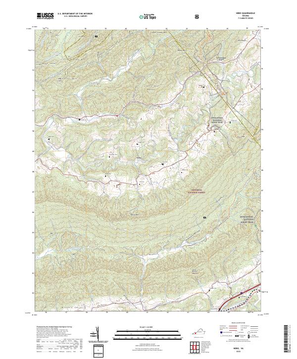
2022 Map of Nebo
USGS Topo · Published 2022About this map
Nebo sits at the heart of this valley landscape, where the North Fork Holston River winds through the gap between Little Mtn and the prominent ridge of Walker Mtn. This pocket of Smyth County is defined by a dense network of family heritage sites, evidenced by numerous small burial grounds such as Goodman Cem, Cregger Cem, and Hubble Cem scattered across the farmland. The terrain is dominated by the Jefferson National Forest, with the Appalachian National Scenic Trl traversing the high ridges near Tilson Gap. To the north, the landscape rises toward Brushy Mtn and the county lines of Tazewell and Bland, while the southern edge follows the Middle Fork Holston River near the rural landmark of Groseclose Store. This geography shows a traditional Appalachian settlement pattern where communities and homesteads remain concentrated along narrow creek bottoms and river bends.
Find a feature on this map
91 named features on this map. Tap any name to fly to it.
Don’t see what you’re looking for? This feature index may not catch every label — zoom into the map to look around manually.
Map Details
Editions of this 2022 Nebo Map
This is the sole edition of this map. No revisions or reprints were ever made.
Other maps of this area

1887 · Pocahontas
USGS Topo · 1:125,000

1889 · Wytheville
USGS Topo · 1:125,000

1891 · Tazewell
USGS Topo · 1:125,000

1891 · Pocahontas
USGS Topo · 1:125,000

1891 · Abingdon
USGS Topo · 1:125,000

1892 · Wytheville
USGS Topo · 1:125,000

1894 · Pocahontas
USGS Topo · 1:125,000

1894 · Abingdon
USGS Topo · 1:125,000

1895 · Tazewell
USGS Topo · 1:125,000

1895 · Pocahontas
USGS Topo · 1:125,000