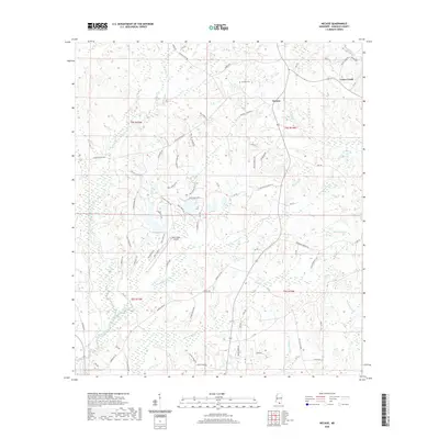
2020 Map of Necaise
USGS Topo · Published 2020About this map
Necaise and the surrounding piney woods of Hancock County are defined by a complex network of waterways and a long history of local families. The settlement pattern is deeply rooted in lineage, seen in the density of roads named for the Ladner and Necaise families, such as Wendell Ladner Rd, Oris Ladner Rd, and Caesar Necaise Rd. These family holdings are clustered near the Necaise Cem, providing a clear focal point for genealogical research in this part of Mississippi.
Find a feature on this map
81 named features on this map. Tap any name to fly to it.
Don’t see what you’re looking for? This feature index may not catch every label — zoom into the map to look around manually.
Map Details
Editions of this 2020 Necaise Map
This is the sole edition of this map. No revisions or reprints were ever made.
Other maps of this area

1914 · Nicholson
USGS Topo · 1:62,500

1921 · Nicholson
USGS Topo · 1:62,500

1953 · Mobile
USGS Topo · 1:250,000

1955 · Savannah
USGS Topo · 1:62,500

1956 · Vidalia
USGS Topo · 1:24,000

1957 · Mobile
USGS Topo · 1:250,000

1957 · Dead Tiger Creek
USGS Topo · 1:24,000

1958 · Picayune
USGS Topo · 1:62,500
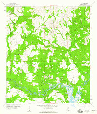
1959 · Kiln
USGS Topo · 1:24,000
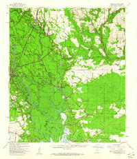
1959 · Nicholson
USGS Topo · 1:62,500