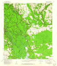
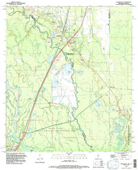
1959 Map of Nicholson
USGS Topo · Published 1960About this map
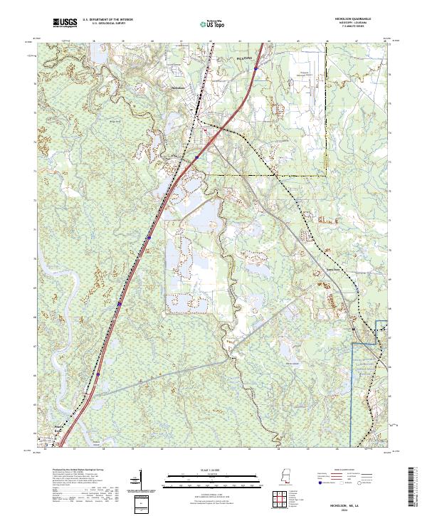
The Pearl River forms the central artery of this landscape, defining the winding boundary between Mississippi and Louisiana. In the late 1950s, this riverine corridor was characterized by a dense network of oxbow lakes, bayous, and landings that supported local transit and industry. Settlements like Gainesville, Logtown, and Napoleon are shown along the eastern bank, connected by rural roads to interior landmarks such as the Westonia Lookout Tower.
Find a feature on this map
79 named features on this map. Tap any name to fly to it.
Don’t see what you’re looking for? This feature index may not catch every label — zoom into the map to look around manually.
Map Details
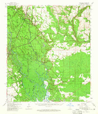
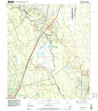
Editions of this 1959 Nicholson Map
3 editions found
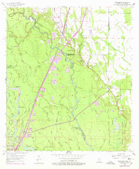
Historical Maps of Slidell Through Time
11 maps found

1914 Nicholson
Pearl River County, MS

1921 Nicholson
Pearl River County, MS
1955 Nicholson
Pearl River County, MS
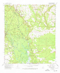
1959 Nicholson
Pearl River County, MS
1993 Nicholson
Pearl River County, MS
1998 Nicholson
Pearl River County, MS
2012 Nicholson
Pearl River County, MS
2015 Nicholson
Pearl River County, MS
2018 Nicholson
Pearl River County, MS
2021 Nicholson
Pearl River County, MS
2024 Nicholson
Pearl River County, MS