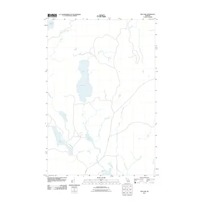
2011 Map of Ned Lake
USGS Topo · Published 2011About this map
Ned Lake and its surrounding wetlands form the heart of this Upper Peninsula landscape, where a complex network of waterways flows through Baraga County. The northern reaches are defined by the East Branch Net River and the Tioga River, while the southern terrain is marked by a cluster of smaller water bodies including Long Lake, Bone Lake, and Shank Lake. An interesting historical footprint is visible in the route known as The Grade, which runs north-south through the center of the sheet, likely tracing the path of an old logging railroad or industrial transport line. This artery connects various drainages such as Camp Ten Creek and the West Branch Fence River, illustrating the reliance on organized overland routes to navigate the dense hydrology of the region. Local travel is facilitated by sparse corridors like Shank Lake Rd and Bone Lake Rd, providing access to isolated features like Flanigan Slough.
Find a feature on this map
17 named features on this map. Tap any name to fly to it.
Don’t see what you’re looking for? This feature index may not catch every label — zoom into the map to look around manually.
Map Details
Editions of this 2011 Ned Lake Map
This is the sole edition of this map. No revisions or reprints were ever made.
Other maps of this area

1895 · Ned Lake
USGS Topo · 1:62,500

1899 · Witbeck
USGS Topo · 1:62,500

1955 · Ned Lake
USGS Topo · 1:62,500

1955 · Herman
USGS Topo · 1:62,500

1955 · Witch Lake
USGS Topo · 1:62,500

1956 · Three Lakes
USGS Topo · 1:24,000

1956 · Michigamme
USGS Topo · 1:62,500

1958 · Iron River
USGS Topo · 1:250,000

1960 · Iron River
USGS Topo · 1:250,000

1961 · Iron River
USGS Topo · 1:250,000
Featured Places
- Covington Township, MI
- Spurr Township, MI
- Crystal Falls Township, MI
- Hematite Township, MI
- Baraga County, MI