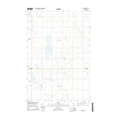
2014 Map of Ned Lake
USGS Topo · Published 2014About this map
The Baraga and Iron County line divides this remote Upper Peninsula landscape, where a complex network of waterways defines the terrain. Central to the area is Ned Lake, which feeds into Ned Lake Creek and eventually the southern drainages. To the west, the winding paths of Flanigan Slough and Shank Lake mark low-lying areas, while the Tioga River flows through the northeast. This 2014 survey documents a land managed for timber and recreation, evidenced by primitive access routes like The Grade Rd and Ned Lake Rd. These roads follow old corridors through the woods, connecting isolated water bodies such as Bone Lake and Long Lake. The map illustrates a contemporary view of the Michigan backcountry, showing how modern forestry and conservation access points intersect with historic named creeks like La Fournier Cr and the W Br Fence River.
Find a feature on this map
29 named features on this map. Tap any name to fly to it.
Don’t see what you’re looking for? This feature index may not catch every label — zoom into the map to look around manually.
Map Details
Editions of this 2014 Ned Lake Map
This is the sole edition of this map. No revisions or reprints were ever made.
Other maps of this area

1895 · Ned Lake
USGS Topo · 1:62,500

1899 · Witbeck
USGS Topo · 1:62,500

1955 · Ned Lake
USGS Topo · 1:62,500

1955 · Herman
USGS Topo · 1:62,500

1955 · Witch Lake
USGS Topo · 1:62,500

1956 · Three Lakes
USGS Topo · 1:24,000

1956 · Michigamme
USGS Topo · 1:62,500

1958 · Iron River
USGS Topo · 1:250,000

1960 · Iron River
USGS Topo · 1:250,000

1961 · Iron River
USGS Topo · 1:250,000
Featured Places
- Covington Township, MI
- Spurr Township, MI
- Crystal Falls Township, MI
- Hematite Township, MI
- Baraga County, MI