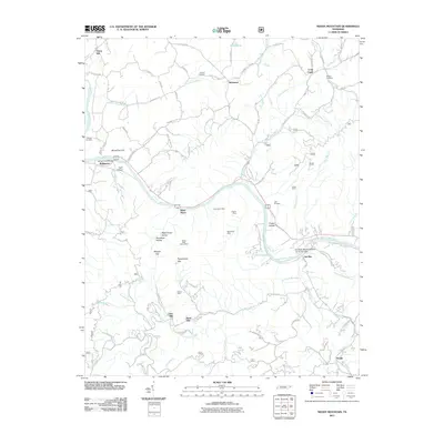
2011 Map of Neddy Mountain
USGS Topo · Published 2011About this map
The French Broad River carves a deep valley through this corner of the Smokies, dictating the development of settlements like Del Rio, Bridgeport, and West Myers. The river is spanned by the James T Huff Bridge near Huff Island, a focal point for the region's transport network. Away from the water, the landscape is defined by its industrial history, with several named mining operations such as the East Meyer Mine, Adams Mine, and Oliver Mine dotting the terrain.
Find a feature on this map
90 named features on this map. Tap any name to fly to it.
Don’t see what you’re looking for? This feature index may not catch every label — zoom into the map to look around manually.
Map Details
Editions of this 2011 Neddy Mountain Map
This is the sole edition of this map. No revisions or reprints were ever made.
Other maps of this area

1883 · Morristown
USGS Topo · 1:125,000

1892 · Greeneville
USGS Topo · 1:125,000

1893 · Mt Guyot
USGS Topo · 1:125,000

1893 · Morristown
USGS Topo · 1:125,000

1894 · Asheville
USGS Topo · 1:125,000

1895 · Morristown
USGS Topo · 1:125,000

1896 · Greeneville
USGS Topo · 1:125,000

1901 · Asheville
USGS Topo · 1:125,000

1904 · Greeneville
USGS Topo · 1:125,000

1912 · Mt Guyot
USGS Topo · 1:125,000