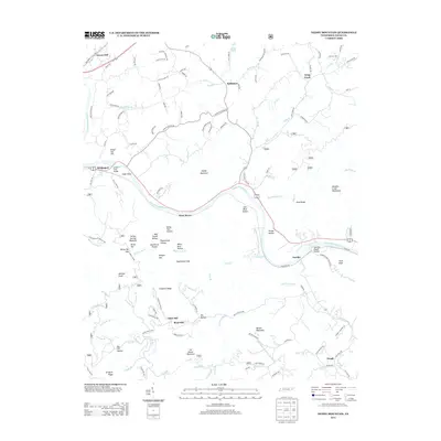
2013 Map of Neddy Mountain
USGS Topo · Published 2013About this map
The French Broad River carves a deep valley through Cocke County, serving as the central artery for the riverbank settlements of Del Rio and Bridgeport. This landscape is defined by its dramatic relief, where the river bypasses Huff Island and is spanned by the James T Huff Bridge. Inland, the terrain rises sharply toward Neddy Mountain and the Meadow Creek Mountains, revealing a complex network of hollows such as Iron Mine Hollow and Summer House Hollow that speak to the area's geological and industrial past.
Find a feature on this map
137 named features on this map. Tap any name to fly to it.
Don’t see what you’re looking for? This feature index may not catch every label — zoom into the map to look around manually.
Map Details
Editions of this 2013 Neddy Mountain Map
This is the sole edition of this map. No revisions or reprints were ever made.
Other maps of this area

1883 · Morristown
USGS Topo · 1:125,000

1892 · Greeneville
USGS Topo · 1:125,000

1893 · Mt Guyot
USGS Topo · 1:125,000

1893 · Morristown
USGS Topo · 1:125,000

1894 · Asheville
USGS Topo · 1:125,000

1895 · Morristown
USGS Topo · 1:125,000

1896 · Greeneville
USGS Topo · 1:125,000

1901 · Asheville
USGS Topo · 1:125,000

1904 · Greeneville
USGS Topo · 1:125,000

1912 · Mt Guyot
USGS Topo · 1:125,000