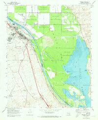
1970 Map of Needles
USGS Topo · Published 1973About this map
The Colorado River serves as the central artery and state boundary for this 1970 landscape, winding through the expansive Mohave Valley between California and Arizona. The city of Needles is the primary hub, showing its established street grid, schools, and the Needles Municipal Airport to the south. Transportation is dominated by the Atchison Topeka and Santa Fe Railroad, which parallels the river and cuts through the town.
Find a feature on this map
45 named features on this map. Tap any name to fly to it.
Don’t see what you’re looking for? This feature index may not catch every label — zoom into the map to look around manually.
Map Details
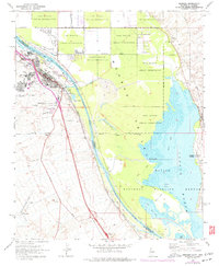
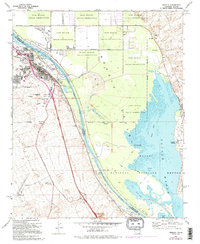
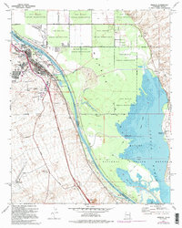
Editions of this 1970 Needles Map
4 editions found
Other maps of this area

1903 · Needles
USGS Topo · 1:125,000

1904 · Needles Special
USGS Topo · 1:125,000

1943 · Topock
USGS Topo · 1:62,500

1950 · Topock
USGS Topo · 1:62,500

1950 · Sawtooth Range
USGS Topo · 1:62,500

1950 · Needles
USGS Topo · 1:62,500

1951 · Topock
USGS Topo · 1:62,500

1951 · Sawtooth Range
USGS Topo · 1:62,500

1952 · Needles
USGS Topo · 1:62,500

1954 · Needles
USGS Topo · 1:250,000