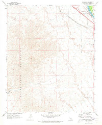
1970 Map of Needles SW
USGS Topo · Published 1973About this map
The Sacramento Mountains dominate this arid landscape on the California-Arizona border just as the region’s transportation infrastructure was evolving in the early 1970s. The city of Needles is represented at its southwestern edge, where the Needles Corporate Boundary meets the harsh desert terrain. Transportation corridors are the defining human mark on the land, from the historic National Old Trails Road to the heavy-duty Atchison Topeka and Santa Fe railroad line. Deep in the backcountry, the Eagle Pass Trail and various Jeep Trails provide access to numerous prospects and a quarry, indicating the area's long-standing connection to mineral exploration. The Colorado River and the adjacent Mohave Valley occupy the upper corner, providing a stark contrast to the high-elevation ridges of Shadow Canyon.
Find a feature on this map
19 named features on this map. Tap any name to fly to it.
Don’t see what you’re looking for? This feature index may not catch every label — zoom into the map to look around manually.
Map Details
Editions of this 1970 Needles SW Map
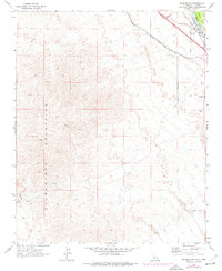
2 editions found
Other maps of this area

1903 · Needles
USGS Topo · 1:125,000

1904 · Needles Special
USGS Topo · 1:125,000

1943 · Center Hills
USGS Topo · 1:62,500

1943 · Bannock
USGS Topo · 1:62,500

1950 · Sawtooth Range
USGS Topo · 1:62,500

1950 · Needles
USGS Topo · 1:62,500

1951 · Sawtooth Range
USGS Topo · 1:62,500

1952 · Needles
USGS Topo · 1:62,500

1954 · Needles
USGS Topo · 1:250,000

1956 · Needles
USGS Topo · 1:250,000