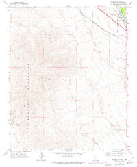
1970 Map of Needles SW
USGS Topo · Published 1977About this map
The Colorado River carves through the landscape where California and Arizona meet, defining the eastern edge of the Sacramento Mountains. During the early 1970s, this desert corridor served as a vital transportation artery, anchored by the Atchison Topeka and Santa Fe railroad and the modern path of Interstate 40. The map documents the persistent legacy of earlier routes, such as the National Old Trails Road, which once served as the primary highway for cross-country travelers.
Find a feature on this map
19 named features on this map. Tap any name to fly to it.
Don’t see what you’re looking for? This feature index may not catch every label — zoom into the map to look around manually.
Map Details
Editions of this 1970 Needles SW Map
2 editions found
Other maps of this area

1903 · Needles
USGS Topo · 1:125,000

1904 · Needles Special
USGS Topo · 1:125,000

1943 · Center Hills
USGS Topo · 1:62,500

1943 · Bannock
USGS Topo · 1:62,500

1950 · Sawtooth Range
USGS Topo · 1:62,500

1950 · Needles
USGS Topo · 1:62,500

1951 · Sawtooth Range
USGS Topo · 1:62,500

1952 · Needles
USGS Topo · 1:62,500

1954 · Needles
USGS Topo · 1:250,000

1956 · Needles
USGS Topo · 1:250,000