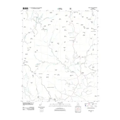
2011 Map of Neel Gap
USGS Topo · Published 2011About this map
Blood Mountain and Slaughter Mountain dominate this landscape in the northern Georgia mountains, where narrow gaps and mountain coves dictate the movement of roads and water. The map traces the upper reaches of the Chestatee River and its numerous tributaries, including Frogtown Creek and Boggs Creek. At Neels Gap, the terrain creates a natural passage used by modern highways, while smaller gaps like Jarrard Gap and Stonepile Gap serve as historical landmarks. Settlement is concentrated in the southern valleys around Porter Springs and Fort Smith. The area is characterized by several high-elevation water bodies and recreation sites, including Lake Winfield Scott and Dockery Lake, along with the DeSoto Falls Scenic Area. Historically named features such as Glass Mine Top and Meetinghouse Ridge hint at the early industrial and social heritage of this high country.
Find a feature on this map
150 named features on this map. Tap any name to fly to it.
Don’t see what you’re looking for? This feature index may not catch every label — zoom into the map to look around manually.
Map Details
Editions of this 2011 Neel Gap Map
This is the sole edition of this map. No revisions or reprints were ever made.
Other maps of this area

1886 · Dahlonega
USGS Topo · 1:125,000

1888 · Ellijay
USGS Topo · 1:125,000

1892 · Dahlonega
USGS Topo · 1:125,000

1892 · Ellijay
USGS Topo · 1:125,000

1896 · Dahlonega
USGS Topo · 1:125,000

1898 · Ellijay
USGS Topo · 1:125,000

1903 · Dahlonega
USGS Topo · 1:125,000

1911 · Ellijay
USGS Topo · 1:125,000

1935 · Coosa Bald
USGS Topo · 1:24,000

1935 · Mulky Gap
USGS Topo · 1:24,000