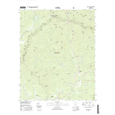
2017 Map of Neel Gap
USGS Topo · Published 2017About this map
Appalachian National Scenic Trail winds across the high ridges of the Chattahoochee National Forest, marking a landscape defined by sharp elevation changes and numerous gaps. The 2017 terrain is punctuated by significant peaks like Big Cedar Mtn and Columbia Mtn, with many smaller features bearing family or descriptive names such as Glass Mine Top and Steel Trap Knob. These names often hint at the early resource extraction and land use history of the North Georgia mountains.
Find a feature on this map
137 named features on this map. Tap any name to fly to it.
Don’t see what you’re looking for? This feature index may not catch every label — zoom into the map to look around manually.
Map Details
Editions of this 2017 Neel Gap Map
This is the sole edition of this map. No revisions or reprints were ever made.
Other maps of this area

1886 · Dahlonega
USGS Topo · 1:125,000

1888 · Ellijay
USGS Topo · 1:125,000

1892 · Dahlonega
USGS Topo · 1:125,000

1892 · Ellijay
USGS Topo · 1:125,000

1896 · Dahlonega
USGS Topo · 1:125,000

1898 · Ellijay
USGS Topo · 1:125,000

1903 · Dahlonega
USGS Topo · 1:125,000

1911 · Ellijay
USGS Topo · 1:125,000

1935 · Coosa Bald
USGS Topo · 1:24,000

1935 · Mulky Gap
USGS Topo · 1:24,000