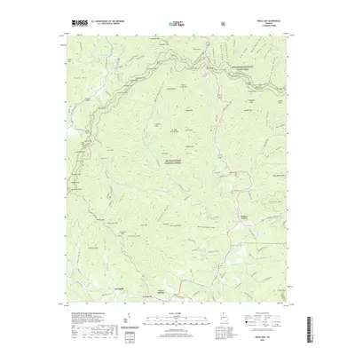
2020 Map of Neel Gap
USGS Topo · Published 2020About this map
The Appalachian National Scenic Trail winds through the high ridges of the Chattahoochee National Forest, crossing the crest at several prominent gaps. This 2020 topographic record shows a landscape defined by sharp peaks like Blood Mountain and Big Cedar Mtn, where the headwaters of the Chestatee River and Yahoola Cr begin their descent. Recreation areas at Lake Winfield Scott and Dockery Lake provide focal points for travel in an otherwise densely wooded terrain.
Find a feature on this map
142 named features on this map. Tap any name to fly to it.
Don’t see what you’re looking for? This feature index may not catch every label — zoom into the map to look around manually.
Map Details
Editions of this 2020 Neel Gap Map
This is the sole edition of this map. No revisions or reprints were ever made.
Other maps of this area

1886 · Dahlonega
USGS Topo · 1:125,000

1888 · Ellijay
USGS Topo · 1:125,000

1892 · Dahlonega
USGS Topo · 1:125,000

1892 · Ellijay
USGS Topo · 1:125,000

1896 · Dahlonega
USGS Topo · 1:125,000

1898 · Ellijay
USGS Topo · 1:125,000

1903 · Dahlonega
USGS Topo · 1:125,000

1911 · Ellijay
USGS Topo · 1:125,000

1935 · Coosa Bald
USGS Topo · 1:24,000

1935 · Mulky Gap
USGS Topo · 1:24,000