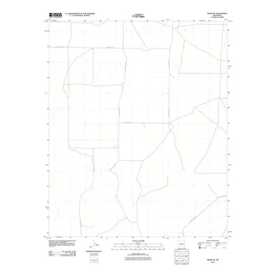
2010 Map of Negra SE
USGS Topo · Published 2010About this map
The high plains of Torrance County are defined here by a geometric network of rural transit routes during the first decade of the 21st century. This 2010 survey records a landscape shaped by the Public Land Survey System, where roads like County Rd-C057 and County Rd-C049 follow section lines across an arid, open expanse. The infrastructure reflects a strictly utilitarian approach to the terrain, with arterial connections such as County Rd-C083 and County Rd-C055 providing the primary framework for movement between remote ranching properties. While the map is sparse in named settlements, the precise alignment of County Rd-C054 and County Rd-C067 illustrates how modern access is maintained in this sparsely populated region of New Mexico, preserving the spatial layout of long-established land divisions.
Find a feature on this map
6 named features on this map. Tap any name to fly to it.
Don’t see what you’re looking for? This feature index may not catch every label — zoom into the map to look around manually.
Map Details
Editions of this 2010 Negra SE Map
This is the sole edition of this map. No revisions or reprints were ever made.
Other maps of this area

1954 · Fort Sumner
USGS Topo · 1:250,000

1958 · Fort Sumner
USGS Topo · 1:250,000

1978 · Negra SW
USGS Topo · 1:24,000

1978 · Pedernal
USGS Topo · 1:24,000

1978 · Encino
USGS Topo · 1:24,000

1978 · Negra SE
USGS Topo · 1:24,000

1978 · Negra
USGS Topo · 1:24,000

1978 · Dunlap Ranch
USGS Topo · 1:24,000

1980 · Corona
USGS Topo · 1:100,000

1981 · Pino Mountain
USGS Topo · 1:24,000