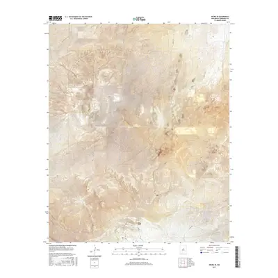
2017 Map of Negra SE
USGS Topo · Published 2017About this map
Negra Trl traverses the undulating high plains of Torrance County in this 2017 survey, cutting through a landscape dominated by the Public Land Survey System. The map is defined by its precise sectioning, with township and range lines such as t4n r13e and t5n r13e providing a rigid framework for the rural New Mexican terrain. County infrastructure is represented by a network of gravel and unimproved roads, including Co Rd C055 and Co Rd C029, which connect isolated land parcels. This modern topographical record shows a region where human activity is largely restricted to these designated corridors, leaving much of the area in its natural state with subtle elevation shifts marked by fine contour lines.
Find a feature on this map
12 named features on this map. Tap any name to fly to it.
Don’t see what you’re looking for? This feature index may not catch every label — zoom into the map to look around manually.
Map Details
Editions of this 2017 Negra SE Map
This is the sole edition of this map. No revisions or reprints were ever made.
Other maps of this area

1954 · Fort Sumner
USGS Topo · 1:250,000

1958 · Fort Sumner
USGS Topo · 1:250,000

1978 · Negra SW
USGS Topo · 1:24,000

1978 · Pedernal
USGS Topo · 1:24,000

1978 · Encino
USGS Topo · 1:24,000

1978 · Negra SE
USGS Topo · 1:24,000

1978 · Negra
USGS Topo · 1:24,000

1978 · Dunlap Ranch
USGS Topo · 1:24,000

1980 · Corona
USGS Topo · 1:100,000

1981 · Pino Mountain
USGS Topo · 1:24,000