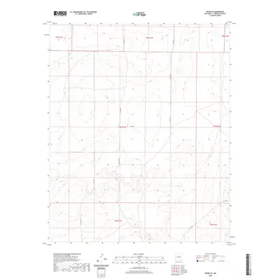
2020 Map of Negra SE
USGS Topo · Published 2020About this map
Negra Trl and Open Range Rd traverse this high-plains landscape in Torrance County, where the topography is defined by subtle contour shifts and expansive open spaces. The map detail reflects a remote ranching environment, structured by the Public Land Survey System across multiple townships including t5n r13e and t4n r13e. The road network is primarily composed of county routes like Co Rd C029 and Co Rd C055, which follow the section lines of the expansive basin. This 2020 survey illustrates how modern infrastructure in this part of New Mexico remains closely tied to the historic township and range grid, with very few named natural features or dense settlements breaking the geometric pattern of the land.
Find a feature on this map
13 named features on this map. Tap any name to fly to it.
Don’t see what you’re looking for? This feature index may not catch every label — zoom into the map to look around manually.
Map Details
Editions of this 2020 Negra SE Map
This is the sole edition of this map. No revisions or reprints were ever made.
Other maps of this area

1954 · Fort Sumner
USGS Topo · 1:250,000

1958 · Fort Sumner
USGS Topo · 1:250,000

1978 · Negra SW
USGS Topo · 1:24,000

1978 · Pedernal
USGS Topo · 1:24,000

1978 · Encino
USGS Topo · 1:24,000

1978 · Negra SE
USGS Topo · 1:24,000

1978 · Negra
USGS Topo · 1:24,000

1978 · Dunlap Ranch
USGS Topo · 1:24,000

1980 · Corona
USGS Topo · 1:100,000

1981 · Pino Mountain
USGS Topo · 1:24,000