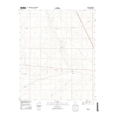
2013 Map of Negra
USGS Topo · Published 2013About this map
Negra and Pedernal anchor this landscape in Torrance County, situated where major transportation arteries cross the high plains. The intersection of Us-60 and Us-285 dominates the regional layout, marking a junction critical for transit across the New Mexico interior. The presence of the Negra Cem near the townsite offers a point of interest for genealogists and local historians, serving as a quiet record of the families who settled this open country.
Find a feature on this map
17 named features on this map. Tap any name to fly to it.
Don’t see what you’re looking for? This feature index may not catch every label — zoom into the map to look around manually.
Map Details
Editions of this 2013 Negra Map
This is the sole edition of this map. No revisions or reprints were ever made.
Other maps of this area

1954 · Fort Sumner
USGS Topo · 1:250,000

1958 · Fort Sumner
USGS Topo · 1:250,000

1978 · Negra SW
USGS Topo · 1:24,000

1978 · Pedernal Mountain
USGS Topo · 1:24,000

1978 · Pedernal
USGS Topo · 1:24,000

1978 · North Lucy
USGS Topo · 1:24,000

1978 · Santo Nino Canyon
USGS Topo · 1:24,000

1978 · Encino
USGS Topo · 1:24,000

1978 · Negra SE
USGS Topo · 1:24,000

1978 · Negra
USGS Topo · 1:24,000