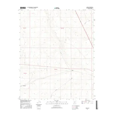
2017 Map of Negra
USGS Topo · Published 2017About this map
Negra sits at a junction of rural roads in Torrance County, serving as a primary point of interest in this high-desert landscape. The area is defined by its agricultural and ranching layout, with the Negra Cem located just south of the main settlement area along Negra Trl. To the southwest, the small community of Pedernal is situated near the township boundary of T5N R12E. The terrain is marked by a network of named local roads such as Perez Rd and Big Buck Rd, which provide access to the expansive rangelands. This 2017 survey reflects the sparse but persistent human footprint in the region, where the orientation of land is still largely dictated by the Public Land Survey System as evidenced by the grid of township and range lines like t6n r13e.
Find a feature on this map
15 named features on this map. Tap any name to fly to it.
Don’t see what you’re looking for? This feature index may not catch every label — zoom into the map to look around manually.
Map Details
Editions of this 2017 Negra Map
This is the sole edition of this map. No revisions or reprints were ever made.
Other maps of this area

1954 · Fort Sumner
USGS Topo · 1:250,000

1958 · Fort Sumner
USGS Topo · 1:250,000

1978 · Negra SW
USGS Topo · 1:24,000

1978 · Pedernal Mountain
USGS Topo · 1:24,000

1978 · Pedernal
USGS Topo · 1:24,000

1978 · North Lucy
USGS Topo · 1:24,000

1978 · Santo Nino Canyon
USGS Topo · 1:24,000

1978 · Encino
USGS Topo · 1:24,000

1978 · Negra SE
USGS Topo · 1:24,000

1978 · Negra
USGS Topo · 1:24,000