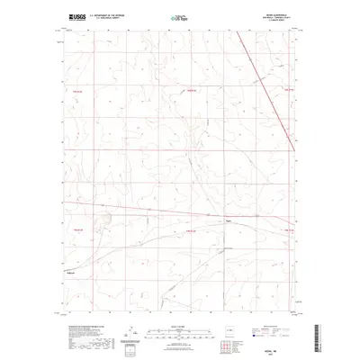
2023 Map of Negra
USGS Topo · Published 2023About this map
The settlement of Negra serves as a central point in this high-desert landscape, positioned along the historic east-west corridor of the regional transportation network. The proximity of the Negra Cem to the town site provides a clear point of interest for genealogists tracking family lineages in Torrance County. The terrain is marked by a series of graded roads and trails, including the aptly named Negra Trl and several local routes such as Solito Rd and Petez Rd, which navigate the subtle changes in elevation typical of this New Mexico plains environment.
Find a feature on this map
19 named features on this map. Tap any name to fly to it.
Don’t see what you’re looking for? This feature index may not catch every label — zoom into the map to look around manually.
Map Details
Editions of this 2023 Negra Map
This is the sole edition of this map. No revisions or reprints were ever made.
Other maps of this area

1954 · Fort Sumner
USGS Topo · 1:250,000

1958 · Fort Sumner
USGS Topo · 1:250,000

1978 · Negra SW
USGS Topo · 1:24,000

1978 · Pedernal Mountain
USGS Topo · 1:24,000

1978 · Pedernal
USGS Topo · 1:24,000

1978 · North Lucy
USGS Topo · 1:24,000

1978 · Santo Nino Canyon
USGS Topo · 1:24,000

1978 · Encino
USGS Topo · 1:24,000

1978 · Negra SE
USGS Topo · 1:24,000

1978 · Negra
USGS Topo · 1:24,000