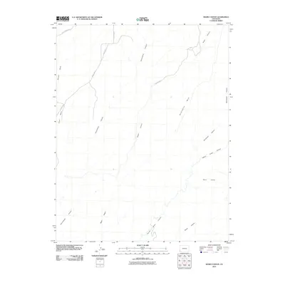
2010 Map of Negro Canyon
USGS Topo · Published 2010About this map
Hovenweep Canyon and Negro Canyon dominate this high-desert landscape in Montezuma County, where deep drainage systems carve through the prominent mesas of the Four Corners region. This 2010 survey by the U. S. Geological Survey illustrates a terrain defined by steep-walled canyons and vast plateaus like Mockingbird Mesa and Cajon Mesa. The land use is primarily rural and topographical, with the few human imprints consisting of a sparse road network, including County Hwy-10 and County Road Y, which navigate around the natural obstacles of the McLean Basin. Collectors and historians can trace the intricate pathways of Yellow Jacket Canyon and Sandstone Canyon as they converge in this arid corner of Colorado, showing the relationship between historical transit routes and the unforgiving southwestern geology.
Find a feature on this map
13 named features on this map. Tap any name to fly to it.
Don’t see what you’re looking for? This feature index may not catch every label — zoom into the map to look around manually.
Map Details
Editions of this 2010 Negro Canyon Map
This is the sole edition of this map. No revisions or reprints were ever made.
Other maps of this area

1886 · Abajo
USGS Topo · 1:250,000

1892 · Abajo
USGS Topo · 1:250,000

1893 · Abajo
USGS Topo · 1:250,000

1956 · Cortez
USGS Topo · 1:250,000

1957 · Moqui NW
USGS Topo · 1:24,000

1957 · Aneth 1 NE
USGS Topo · 1:24,000

1957 · Cedar 3 SW
USGS Topo · 1:24,000

1957 · Moqui SW
USGS Topo · 1:24,000

1957 · Moqui SE
USGS Topo · 1:24,000

1957 · Monument Canyon
USGS Topo · 1:62,500