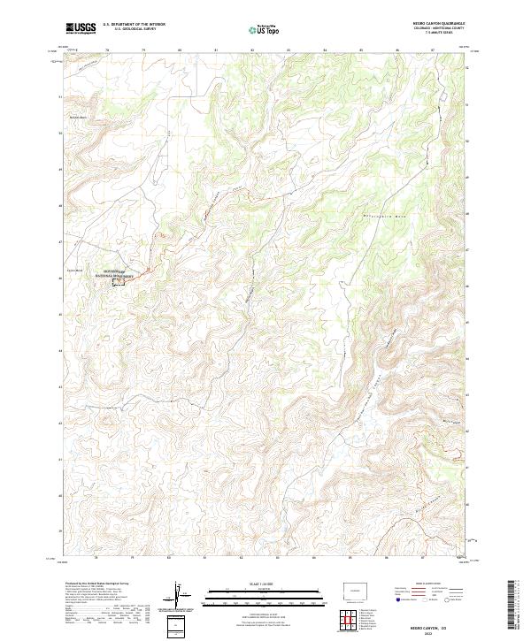
2022 Map of Negro Canyon
USGS Topo · Published 2022About this map
Hovenweep National Monument anchors the western edge of this Montezuma County landscape, preserving a unique archaeological record within the high desert environment of southwestern Colorado. The terrain is defined by a series of parallel drainage systems, including Yellow Jacket Canyon and Sandstone Canyon, which cut deep through the expansive Mockingbird Mesa. These canyons represent a critical historical watershed that supported ancestral inhabitants, evidenced by the proximity of the monument and named landmarks like Cajon Mesa.
Find a feature on this map
21 named features on this map. Tap any name to fly to it.
Don’t see what you’re looking for? This feature index may not catch every label — zoom into the map to look around manually.
Map Details
Editions of this 2022 Negro Canyon Map
This is the sole edition of this map. No revisions or reprints were ever made.
Other maps of this area

1886 · Abajo
USGS Topo · 1:250,000

1892 · Abajo
USGS Topo · 1:250,000

1893 · Abajo
USGS Topo · 1:250,000

1956 · Cortez
USGS Topo · 1:250,000

1957 · Moqui NW
USGS Topo · 1:24,000

1957 · Aneth 1 NE
USGS Topo · 1:24,000

1957 · Cedar 3 SW
USGS Topo · 1:24,000

1957 · Moqui SW
USGS Topo · 1:24,000

1957 · Moqui SE
USGS Topo · 1:24,000

1957 · Monument Canyon
USGS Topo · 1:62,500