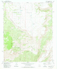
1980 Map of Negro Ed
USGS Topo · Published 1980About this map
Goodwin Mesa and the Aquarius Cliffs define this high-desert landscape along the boundary of Mohave and Yavapai Counties. This 1980 survey reveals a region centered on livestock and water management, where numerous isolated features like Hosey Tank, Butte Tank, and Deer Mountain Tank provide essential resources in an arid environment. The map captures the remote character of the Negro Ed area, highlighting a network of primitive transportation routes including a Jeep Trail winding through the complex drainages of Ash Creek and Trot and Holler Canyon.
Find a feature on this map
35 named features on this map. Tap any name to fly to it.
Don’t see what you’re looking for? This feature index may not catch every label — zoom into the map to look around manually.
Map Details
Editions of this 1980 Negro Ed Map
This is the sole edition of this map. No revisions or reprints were ever made.
Other maps of this area

1923 · Signal
USGS Topo · 1:250,000

1942 · Signal
USGS Topo · 1:250,000

1945 · Bagdad
USGS Topo · 1:62,500

1948 · Bagdad
USGS Topo · 1:62,500

1950 · Prescott
USGS Topo · 1:250,000

1954 · Prescott
USGS Topo · 1:250,000

1958 · Prescott
USGS Topo · 1:250,000

1959 · Prescott
USGS Topo · 1:250,000

1960 · Prescott
USGS Topo · 1:250,000

1965 · Prescott
USGS Topo · 1:250,000