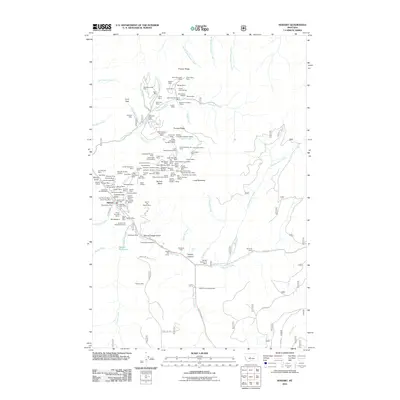
2011 Map of Neihart
USGS Topo · Published 2011About this map
Neihart serves as the central hub for this high-elevation terrain, where the settlement’s presence is defined by the steep canyon of Belt Creek. The landscape is heavily marked by a legacy of industrial extraction, featuring an extensive network of mining operations such as the Silver Dyke Mine, Big Seven Mine, and the Old Crow Mine. These sites, along with the Silver Dyke Millsite and various tailing areas, illustrate the intensive mineral search that shaped the local geography.
Find a feature on this map
125 named features on this map. Tap any name to fly to it.
Don’t see what you’re looking for? This feature index may not catch every label — zoom into the map to look around manually.
Map Details
Editions of this 2011 Neihart Map
This is the sole edition of this map. No revisions or reprints were ever made.
Other maps of this area

1886 · Little Belt Mts.
USGS Topo · 1:250,000

1890 · Fort Benton
USGS Topo · 1:250,000

1892 · Fort Benton
USGS Topo · 1:250,000

1894 · Little Belt Mts.
USGS Topo · 1:250,000

1897 · Fort Benton
USGS Topo · 1:250,000

1897 · Little Belt Mts.
USGS Topo · 1:250,000

1898 · Little Belt Mts.
USGS Topo · 1:250,000

1902 · Little Belt Mts.
USGS Topo · 1:250,000

1948 · White Sulphur Springs
USGS Topo · 1:250,000

1954 · Great Falls
USGS Topo · 1:250,000